Arguably the biggest bust of the year for me and likely numerous others as well. This day loomed roughly a week beforehand, with the usual bullish shear and instability values being spat out by the GFS and to a lesser degree, the ECMWF. It had all the classic calling cards of an old-school Plains tornado outbreak. However the day of ended up being quite different, with red flags put forth by the NAM and mid-range ensembles essentially ruining the day. Chased a supercell from Elmer, OK to roughly Snyder before letting it go. The second storm we approached as it was crossing the Red River had a terribly flat, laminar base with precipitation spread through it. All in all, not the day I had been hoping for.
Tuesday, January 16, 2018
April 26 2016 Chase Log
Summary
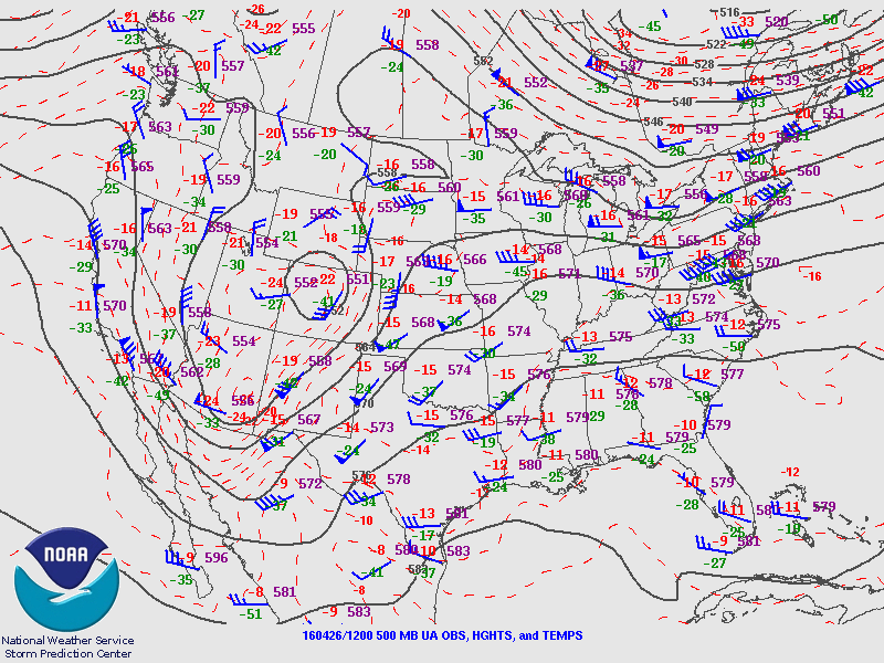
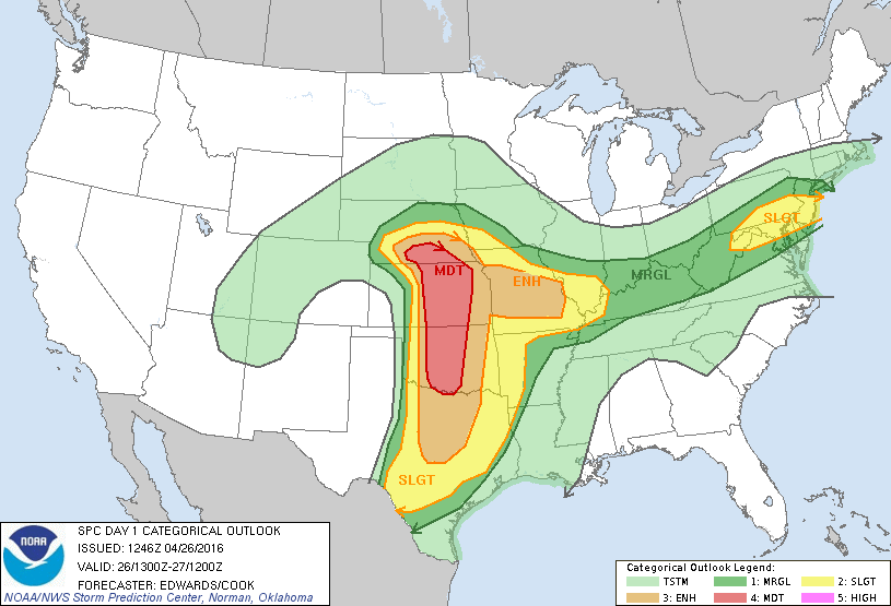
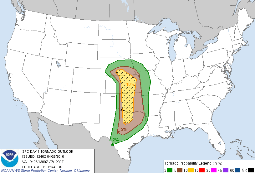
Arguably the biggest bust of the year for me and likely numerous others as well. This day loomed roughly a week beforehand, with the usual bullish shear and instability values being spat out by the GFS and to a lesser degree, the ECMWF. It had all the classic calling cards of an old-school Plains tornado outbreak. However the day of ended up being quite different, with red flags put forth by the NAM and mid-range ensembles essentially ruining the day. Chased a supercell from Elmer, OK to roughly Snyder before letting it go. The second storm we approached as it was crossing the Red River had a terribly flat, laminar base with precipitation spread through it. All in all, not the day I had been hoping for.
Arguably the biggest bust of the year for me and likely numerous others as well. This day loomed roughly a week beforehand, with the usual bullish shear and instability values being spat out by the GFS and to a lesser degree, the ECMWF. It had all the classic calling cards of an old-school Plains tornado outbreak. However the day of ended up being quite different, with red flags put forth by the NAM and mid-range ensembles essentially ruining the day. Chased a supercell from Elmer, OK to roughly Snyder before letting it go. The second storm we approached as it was crossing the Red River had a terribly flat, laminar base with precipitation spread through it. All in all, not the day I had been hoping for.
Subscribe to:
Post Comments (Atom)


No comments:
Post a Comment